I - Using this site
Moving around the site
The site has been designed to be "user-friendly". It is recommended that you start by opening the List of Maps page. Here you will find a complete list of the maps included on this site numbered according to the convention used in The Printed Maps of Devon (Second Edition, 2008).
Choose the map to be consulted, or simply start with the first map, James Pigot`s 1839 map. Click the date 1839 to view an image of the map; click James Pigot to view the text information. Once a page is opened there are four choices for continuing.
1. Click one of the main menu headings to return to the main listing or to go to another section. E.g. Select List of Maps to return to map listing or click Welcome to return to the home page.
2. Click on Text or Map Image to switch between the text on the relevant map or the image which accompanies that text: i.e. If you are on the text page to map 143 (W J Sackett), clicking Map Image will bring you to the relevant image; if you are on the image page to map 143, clicking Text will bring you to the relevant text page.
3. Click Next: if you are on a text page you will go forward to the next page of text, i.e. the next map entry. If you are on an image page you will go to the image of the next entry. E.g. if you are viewing the image to W J Sackett (143) you will go to the next image – No. 144 W Hughes. E.g. if you are reading the text to T Spargo (145) you will go to the next text entry – No. 146 H James.
4. Click Last: if you are on a text page you will go back to the previous page of text, i.e. the last map entry. If you are on an image page you will go to the image of the previous entry. E.g. if you are viewing the image to Thomas Murby (151) you will go to the last image – No. 150A Stanford / Symons (A denoting a later addition to the cartobibliography). E.g. if you are reading the text to Thomas Murby (151) you will go to the previous text entry – No. 150A Stanford / Symons.
II - Note on Search Engine
Search Engine
The search engine is very accurate but will also find your word if embedded in a longer word. Presently we do not have a "whole word only" option. We hope that this is not a problem for our users.
When searching for town names please note that the spelling of these varied over the years (e.g. Okehampton and Oakhampton) and both names might have been used when referring to names as used on maps. You may need to use more than one spelling if looking for specific placenames.
III – Terminology and conventions
Definition
For the purpose of this cartobibliography, a county map of Devon is a printed map published specifically to show the whole of Devonshire on one or two sheets, either individually, or with only one other complete county. Devon was not grouped with other counties in any of the atlases included in the current work; however, one geological work (118 - two maps), four ecclesiastical works including a magazine (118A, 129, 139 and 143, showing the Diocese of the Bishop of Exeter), a number of guide books (130, 135, 137, 157. 165A and 175), The Western Morning News (159), Stanford’s Large Scale Railway Map (154A), Weller's sketch maps for Samuel Gardiner (170A) and Firks and Son large wall map (170) show Devon together with Cornwall. These are all included.
There is one exception. Black's revised Guide to South of England (the spine title, 142) originally had a map of Dorset, Devon and Cornwall, which was later cut into two maps Dorset and Devon & Cornwall, or the three separate counties. As all of these maps were taken from the same plate the first stage has been included. Cassell's produced a railway guide, and Gall & Inglis a cyclist's road book: both of these have maps of the county. As they show the majority of the county they have been included (165 and 182). The Gall & Inglis map is also of Devon and Cornwall.
Two key maps have also been included: the key map of Bartholomew/Black (1882, 156) which depicts Devon; and the index map of Baddeley and Ward's Thorough Guide Series which depicts Devon and Cornwall (1882, 157). Both these maps were printed on the inside front covers.
Other index maps have not been catalogued, as either too small to provide real information or as they are unlikely to be found loose. An illustration of Henry de la Beche's rough sketch map of Devon is shown (illustrated under 118) as is the small index map by W J Sackett (80 x 60 mm) shown above the list of the Diocese (illustrated under 143). In addition there were three small maps in Faunthorpe's work (illustrated under 149) and an inset map on Stanford's map of South Devon included a General Map of the County.
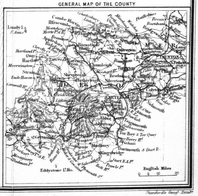
The inset map on Stanford’s map of South Devon (154).
Maps of Devon which show only part of the county, coastal charts and road books are also excluded. It is hoped further volumes will list these.
Maps of Devon from 1575 to 1837 can be found on the website The Printed Maps of Devon; maps of the towns and regions of Devon to 1901 can be found in The Tourist Maps of Devon; maps of Exeter only can be found in The Printed Maps of Exeter; and for road books see Francis Bennett, The Road-Books, Road-Maps, & Itineraries of Great Britain 1535 to 1850; and The Roads of Devon and Cornwall. Both books published by the author and printed by the Short Run Press, 2008. See also the Bibliography page which lists other useful books on Devon cartography. Maps covering the South-West, and coastal charts are excluded. It is hoped that further volumes will list these.
Heading
In labelling the maps the chosen order of preference throughout is surveyor, draughtsman, engraver, author and publisher. The map is given the name of a surveyor, if known, where the map is believed to be the result of an original survey. Otherwise the name of the draughtsman, the engraver, the author of the original work, or the first publisher in that order is used to help in identification. Names joined by a slash, e.g. Emslie / Reynolds, indicate that both (or all) were connected with the original issue and both (or all) names are found in works of reference and/or dealer’s catalogues in connection with this map. A slash is also used to identify separate works by the same draughtsman or engraver, e.g. Bartholomew/ Black and Bartholomew/Pattison. In some cases maps are commonly associated with another mapmaker or publisher, e.g. Weller’s map (1858) for the Weekly Dispatch newspaper (136), or a later publisher, e.g. Bacon’s publication of Cary’s maps: in these cases the alternative name is added in brackets, e.g. Bacon (Cary).
Date
The date listed is the one that appears on the first edition of the map or, if it is undated, the date of the publication in which it first appeared or is thought to appear. (See also Publications below.)
Biographical Note
Wherever possible a short biographical sketch is given of the surveyor and/or publisher, together with a brief history and description of the map or atlas.
Size
This gives the dimensions in millimetres, vertically then horizontally, between the outer frame lines. In the absence of frame lines, the dimensions are those of the printed map. Where the map has a panel of information or a title extension this is noted, together with an indication of the size of the complete engraving and of the map panel or area. Because of variations in paper shrinkage small differences can be expected. Lithographs may differ widely in size, being reduced or enlarged by photographic or other means.
Scale
Any wording on the map is shown in bold type. The figure in brackets refers to the scale bar. The reference British Miles (1 + 10 = 11 mm) miles means that the scale shows 1 mile to the left of zero and 10 miles to the right, the whole measuring 11 mm. British Miles is written above or at front of the scale bar and miles after or below.
Inscriptions and Place-Names
The title, imprint and names that appear on the map are given in bold print using the original spelling. Punctuation is omitted if unclear.
Editions
The main entry shows the title and features that appeared on the first edition of the map. Subsequent states, with a note of the variations, are listed below. Information is complete up to the year 1901. Information on issues is largely correct but must be treated with caution where there were many reissues, eg Bacon reissues of the Weekly Dispatch sheets from 1864 (136c).
Position of Features on Maps
Following the popular method, the position of each feature on the map is given, where appropriate, in brackets by reference to the following grid:
| Aa |
Ba |
Ca |
Da |
Ea |
| Ab |
Bb |
Cb |
Db |
Eb |
| Ac |
Bc |
Cc |
Dc |
Ec |
| Ad |
Bd |
Cd |
Dd |
Ed |
| Ae |
Be |
Ce |
De |
Ee |
For example; a title cartouche at Aa will be found inside the border in the top left corner of the map. Where a large feature extends over more than one square of the grid, the position of the centre is given, or is given as Bb-Cb etc. When the feature is outside the border the reference is followed by ‘OS’; hence AeOS would be just outside the border bottom left. Position information is always given where this feature changes during the lifetime of the map.
Publications
The first date is the date of issue of the atlas etc. or the date printed on the map, whichever is the earlier. Reissues with information on known changes follow. Facing each description is an illustration of one issue of the map.
After the description of an edition of each map there is a list of the titles of atlases, books or other publications in which the map appeared. The title (which may be shortened, omissions being shown by dots) is given in italics, using the original spelling but in lower case except for initial letters. This is followed by the place, the publisher and the year of publication. If the year is shown without brackets, e.g. 1839, this is the date given on the title page. If more than one date is shown, separated by commas, these are the dates of successive editions of the same publication. If the date is shown in the form 1882 (1892), this means that although 1882 is the date on the title page, there is other evidence to indicate a later (or earlier) publication. Dates in brackets alone, e.g. (1845), indicate date is conjectured.
